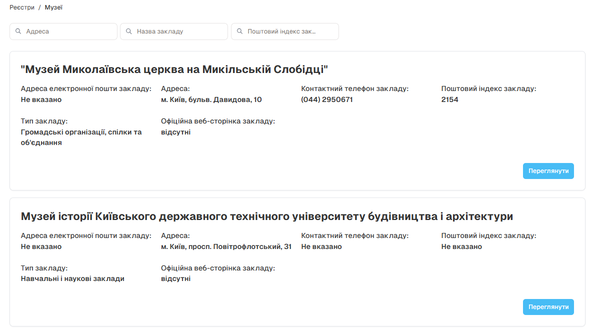
Data Registers
Registers serve as authoritative sources of reference data that support the broader GIS Server ecosystem. They provide standardized classifications, administrative boundaries, reference systems, and metadata that ensure data consistency, quality, and interoperability across the platform.
Registers Overview
Section titled “Registers Overview”
Related Documentation
Section titled “Related Documentation”Explore these related sections to learn more about register management and its integration with other GIS Server features:
Datasets Learn about dataset management and how registers support data organization and quality
Admin Panel Configure register settings and permissions through the comprehensive administrative interface
Export Export register data in various formats for external applications and analysis