
GIS Server
Subsystem for creating and editing geographic data, developed for integration into web applications


Advantages
Using modern technologies provides significant advantages.
High Efficiency
Our system is optimized for fast processing of large volumes of data, ensuring stable and efficient performance even with datasets containing over 100,000 objects
Flexible settings

Centralized system

Cloud Access
Users can work with their data from any device with Internet access, without the need to install additional software.


Admin Panel
The Admin Panel is the central administrative interface for managing all aspects of GIS Server.
Management and Publication
Manage all your datasets in the system and publish them to the geoportal
Security
Manage user permissions and access levels
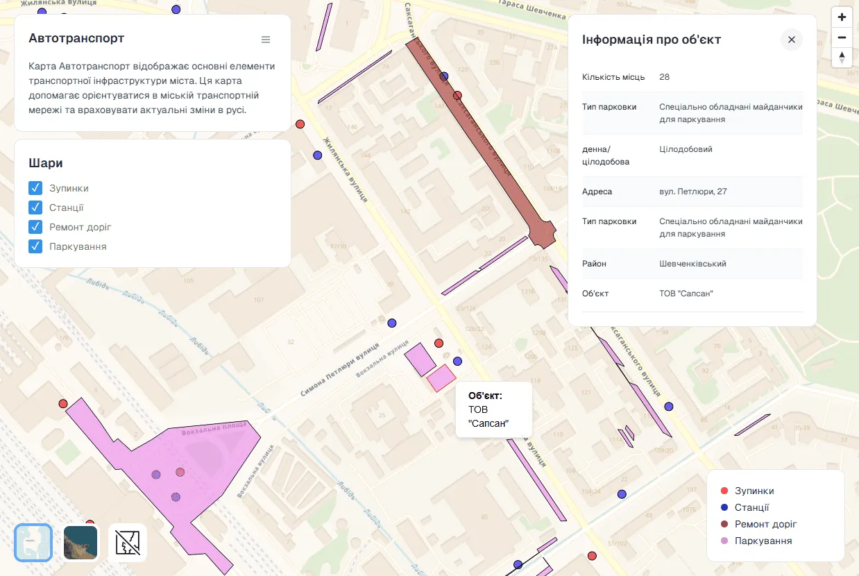
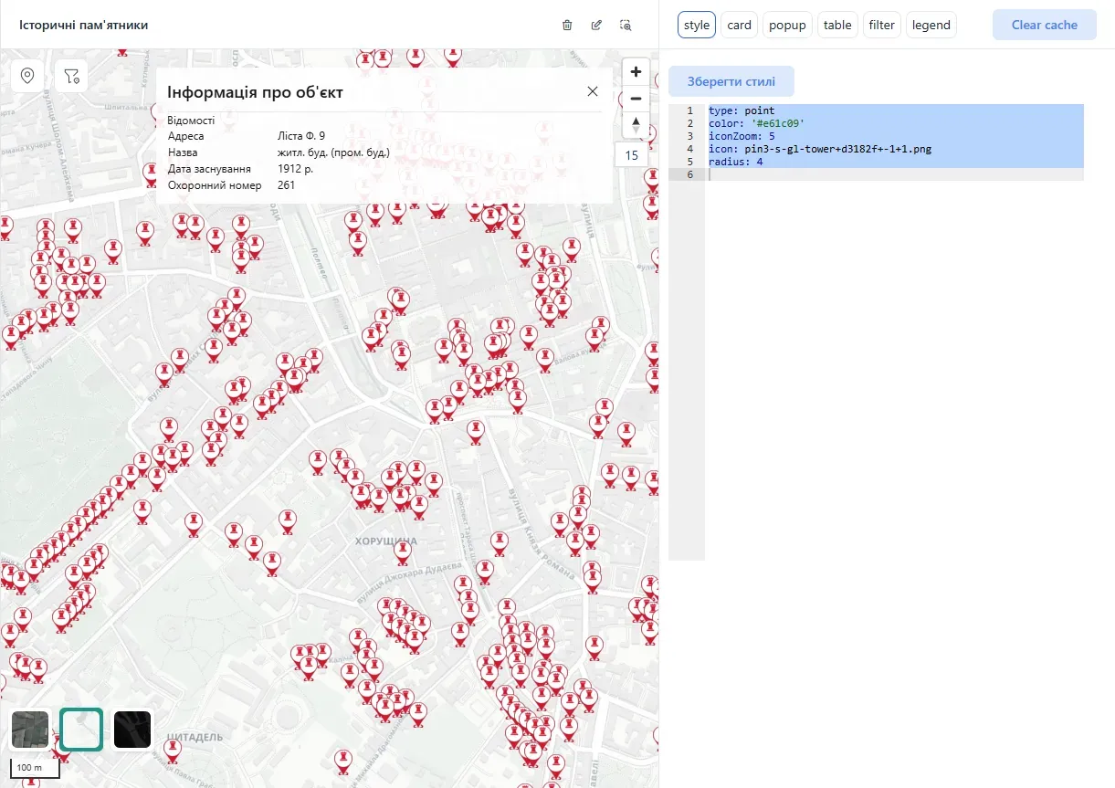
Interactive Map
The Interactive Map is a tool for viewing and analyzing geospatial data, including topographic layers, aerial imagery, and other mapping resources.
 Display object cards and popups
- Change map basemap
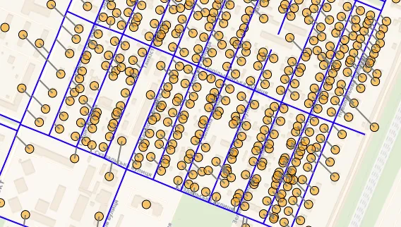
- Clustering by zoom level to simplify perception of large datasets
Raster Data
The tile generation system provides efficient methods for serving raster data over the web with optimized performance and scalability.
- Adding rasters
- Tile generation

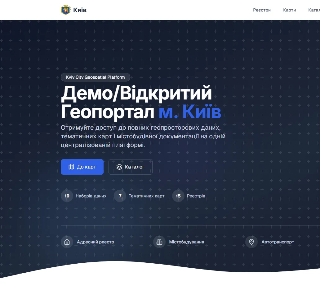
GIS Server in action on our demo geoportal
Check out our demo geoportal to see how GIS Server can be used to display geospatial data and create thematic maps.
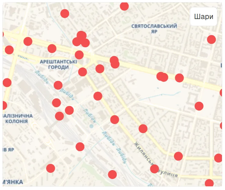
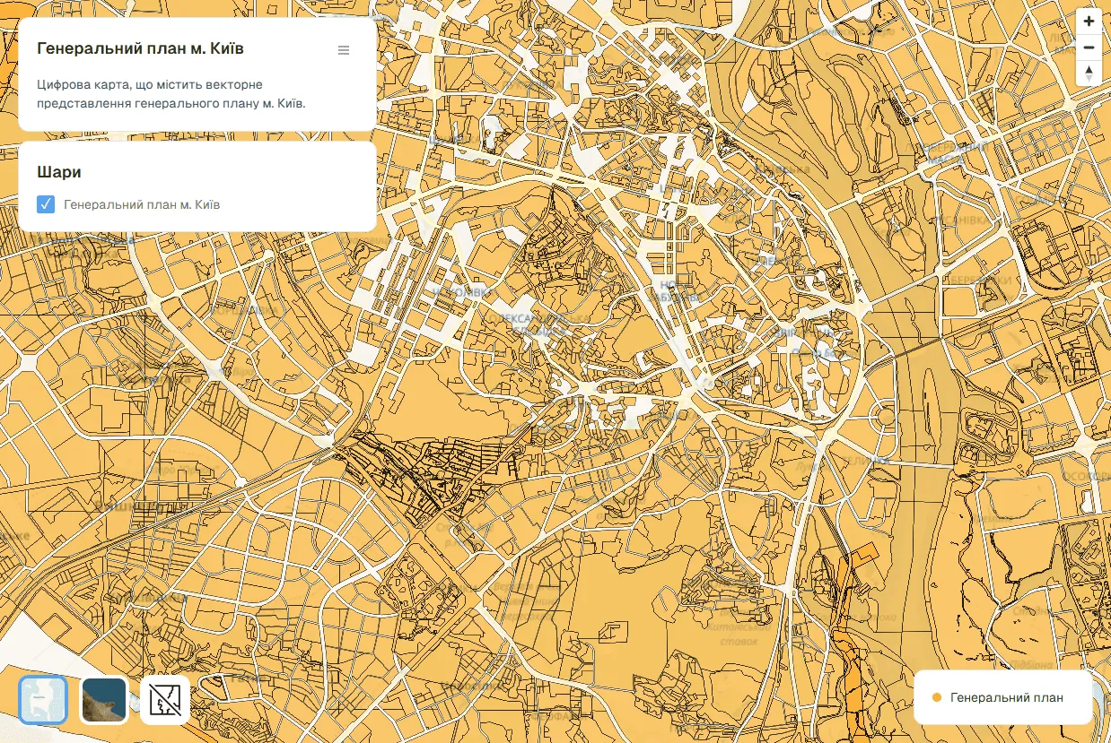
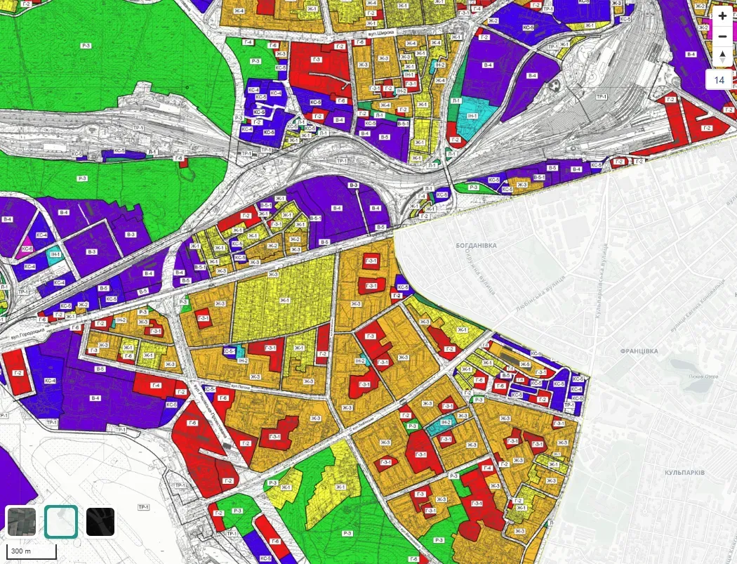
 Thematic Maps
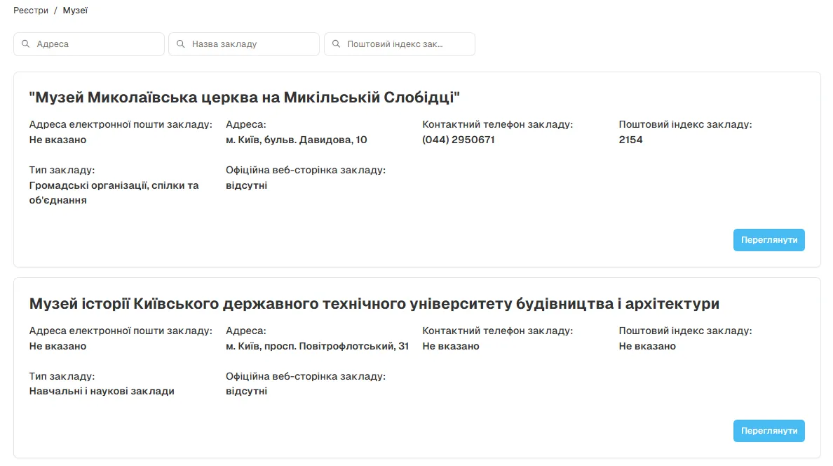
 Datasets
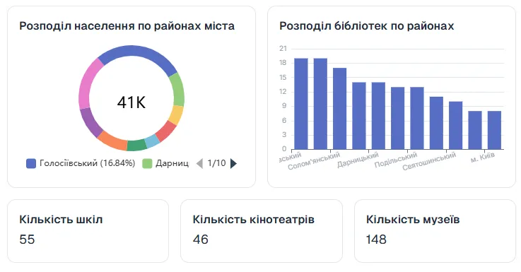
 Statistics and Dashboards
Case Studies
Dive into our Case Studies for industry insights, tips, and news. Stay informed and inspired with our latest Case Studies.

Public geoportal
The Public Geoportal is a modern web application that allows users to view,...
Learn moreReady to get started?
Contact us today to learn more about our services and how we can help you.